How you can help
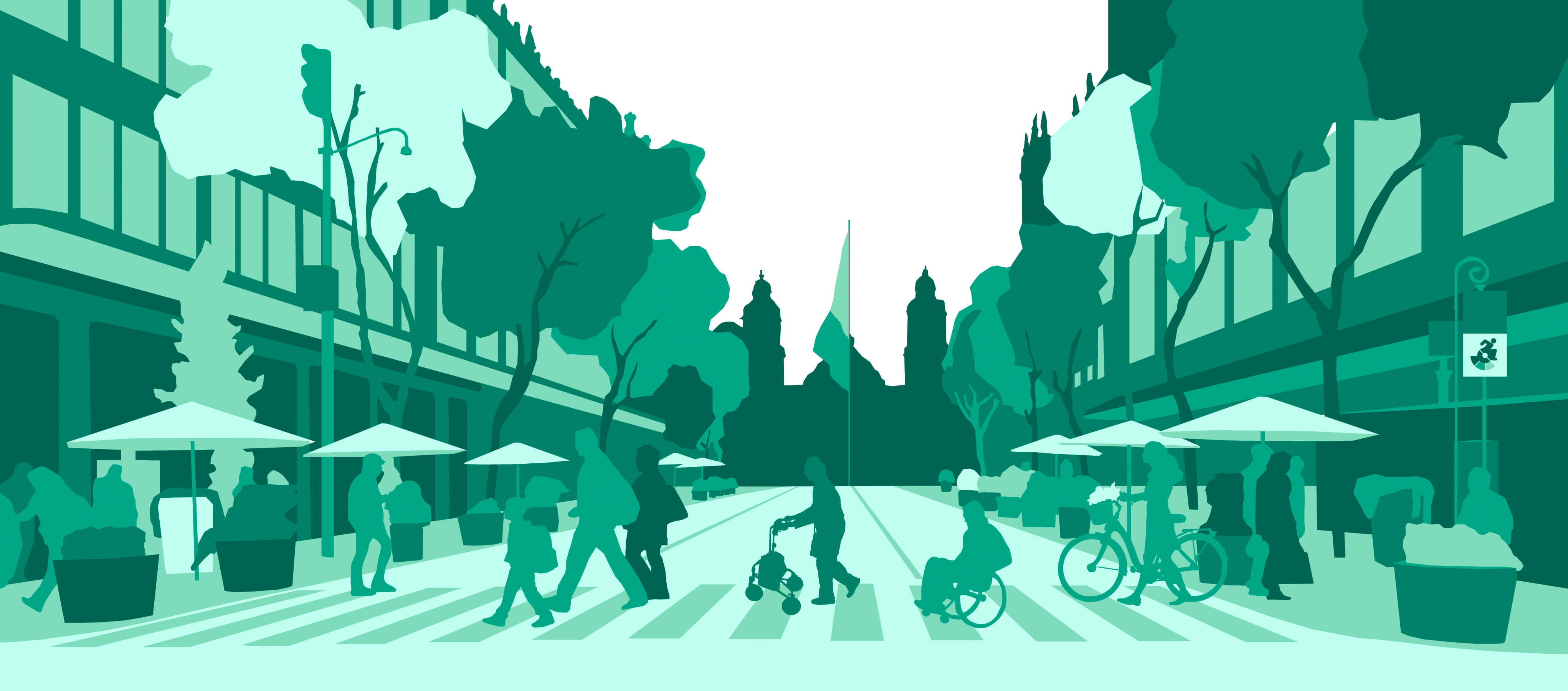
Virtually explore city streets in Amsterdam to find and label accessibility issues in three easy steps—right from the comfort of your home.
01
EXPLORE
EXPLORE
02
FIND PROBLEMS
FIND PROBLEMS
03
ASSESS SEVERITY
ASSESS SEVERITY
Pick a Neighborhood
Choose a neighborhood to explore below or click on the 'Explore' button and you'll be assigned a neighborhood automatically!
Percent of Neighborhood Complete

NA
NA
NA
NA
of target area mapped
kilometers covered
labels
validations
What we do with your labels
Your labels are used to improve city planning, build accessibility-aware mapping tools, and train machine learning algorithms to automatically find accessibility issues.
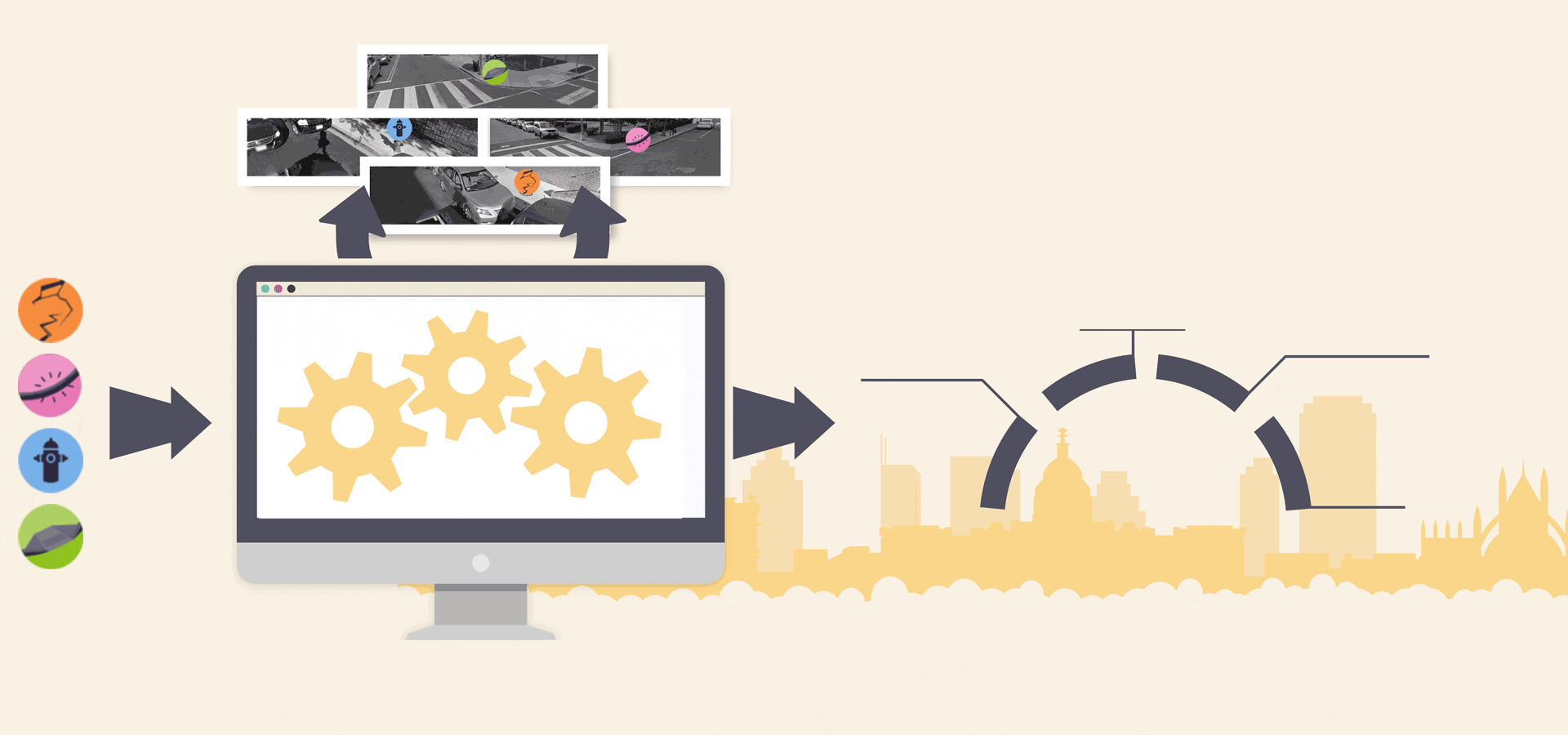
you
machine learning
outcomes
user labels
machine labels
better city planning
better temporal tracking
interactive visualization tools
smarter routing
Explore other cities
Click on a circle below to explore other Project Sidewalk cities!
Collaborators